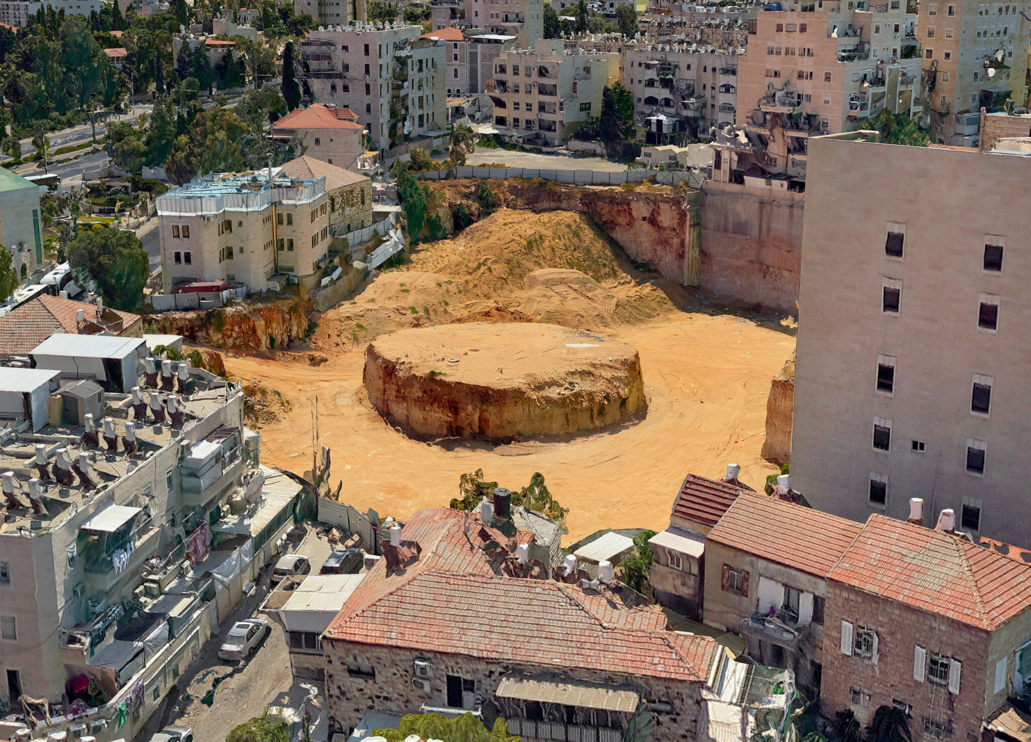

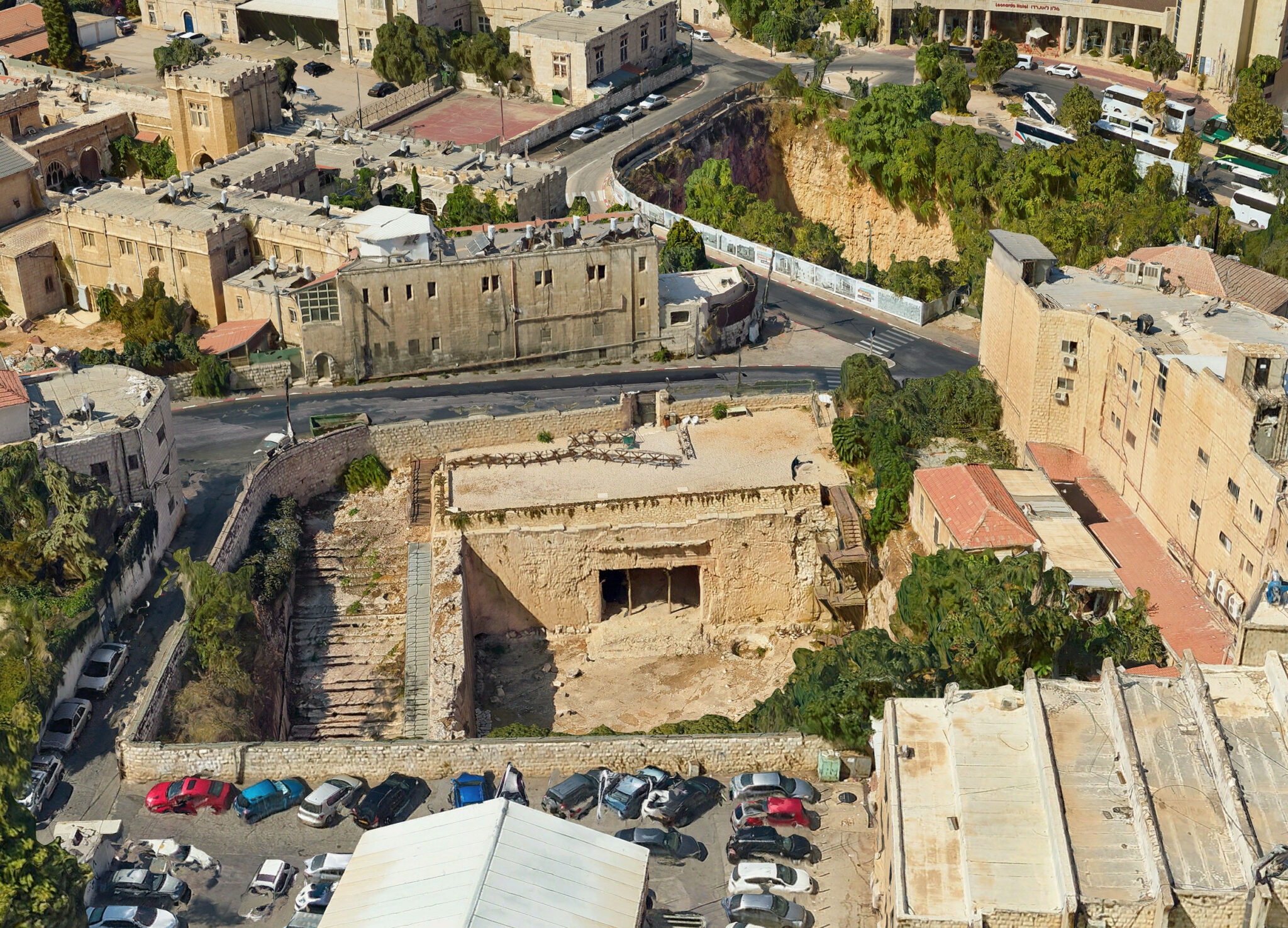

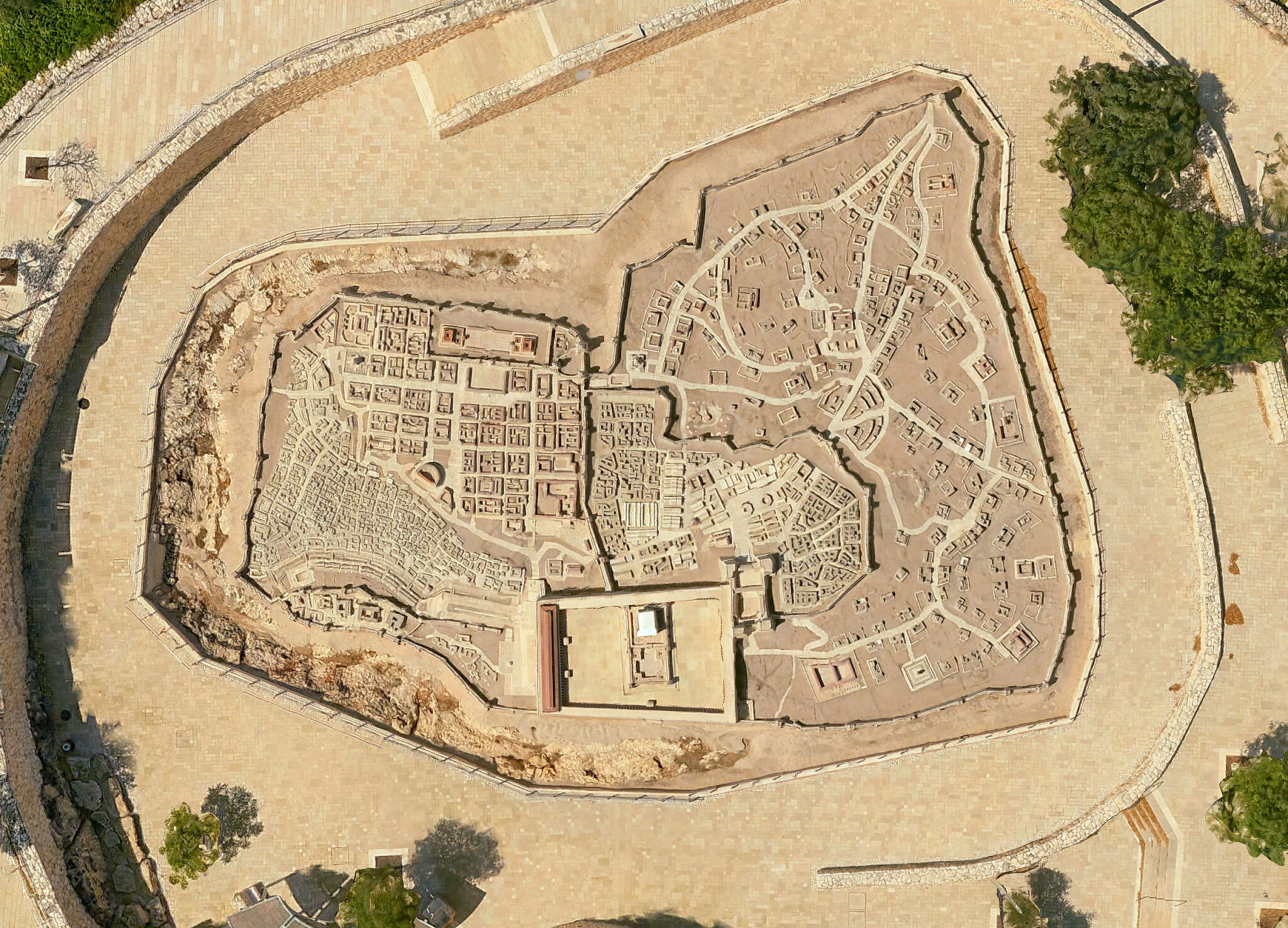

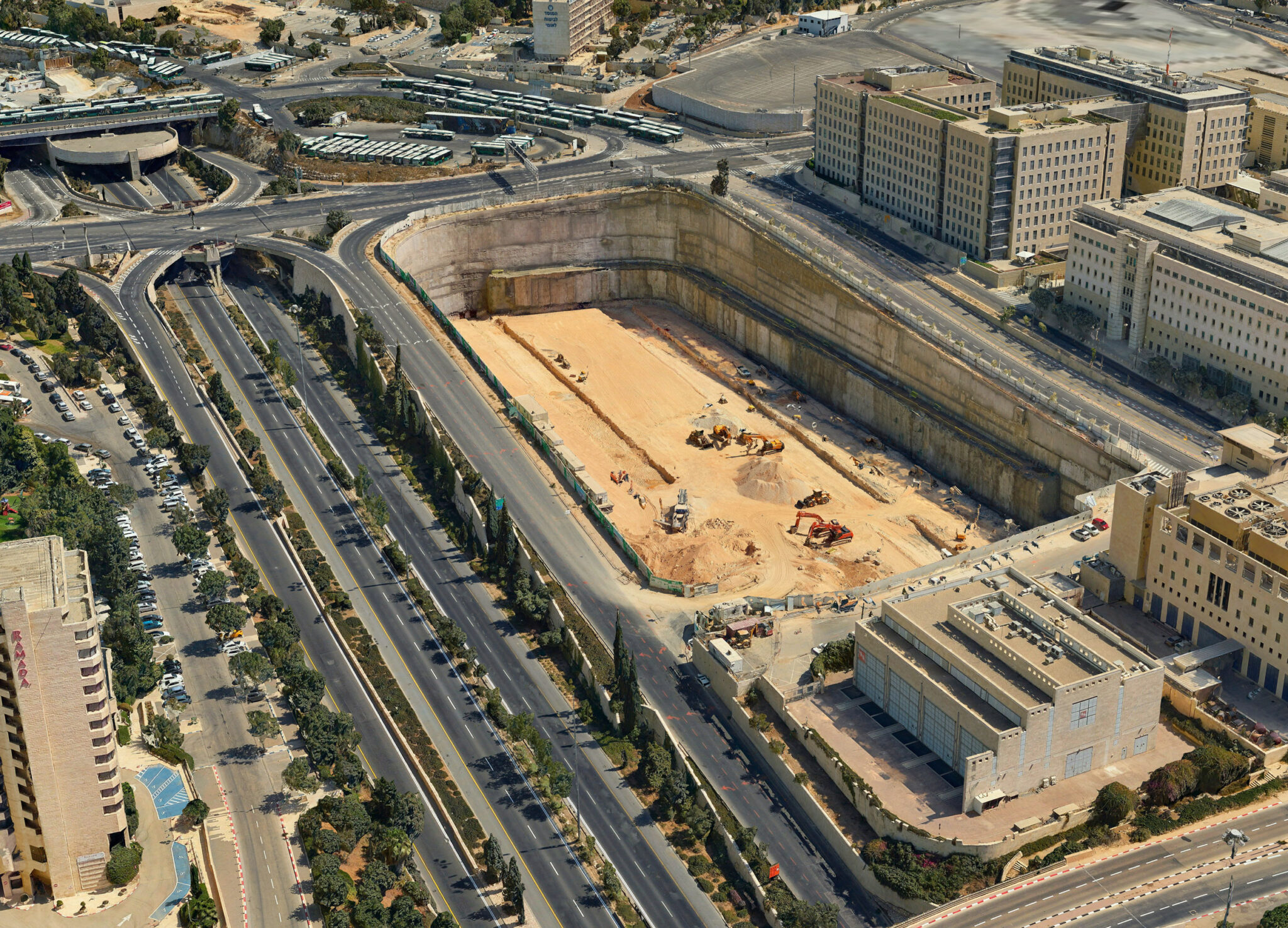

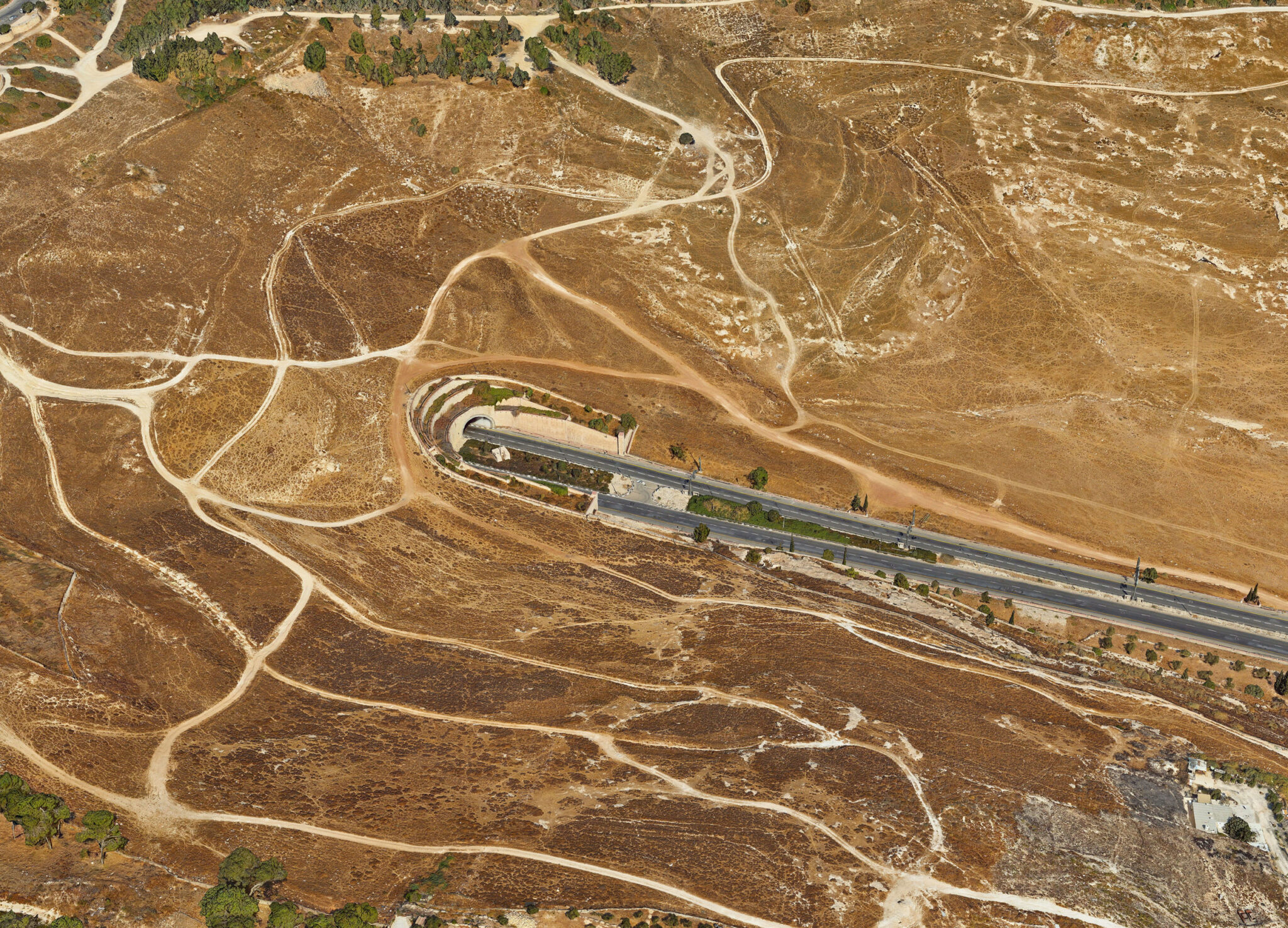

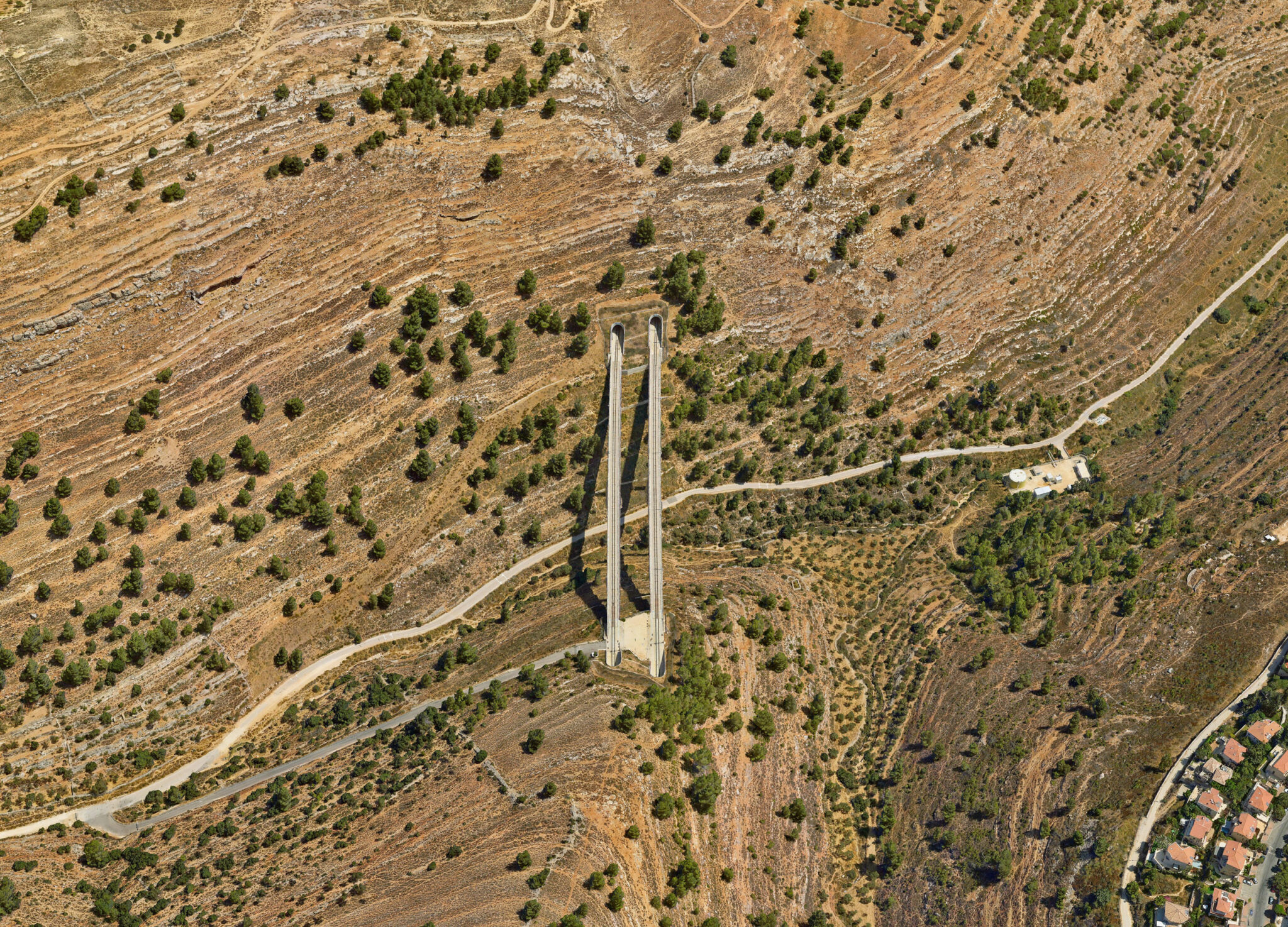

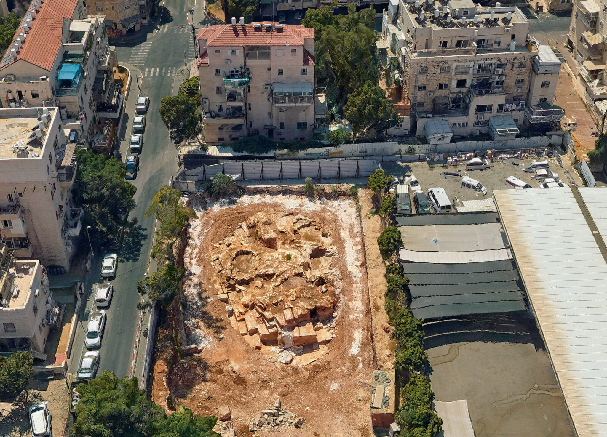

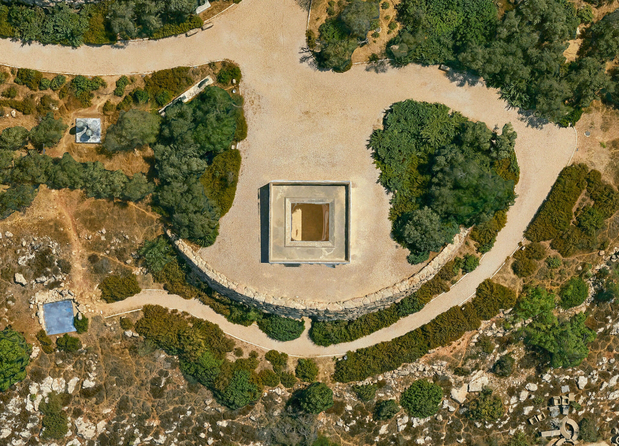

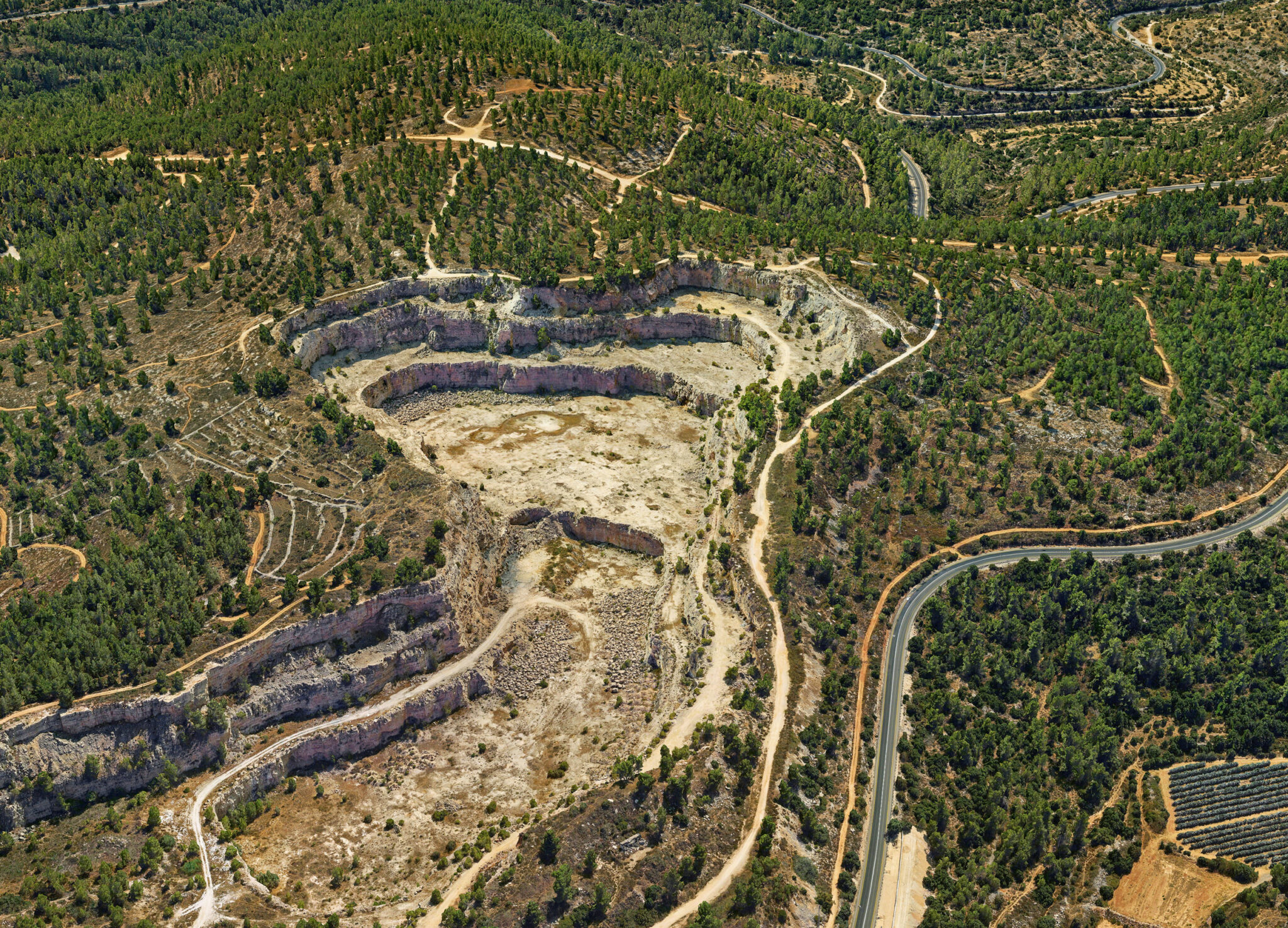

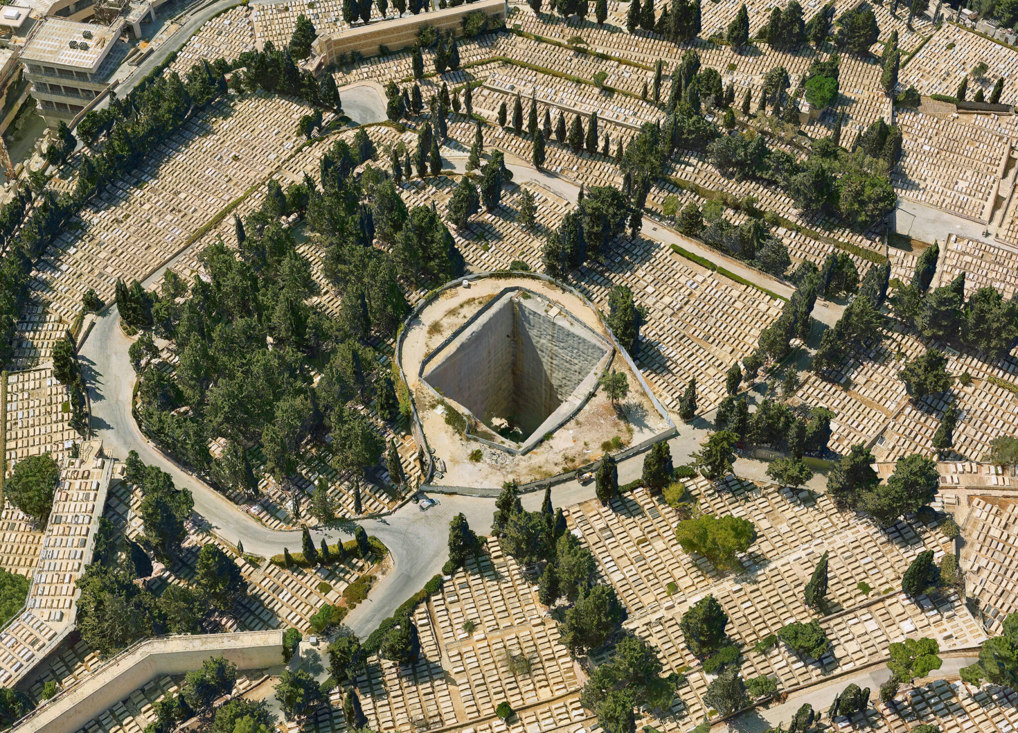

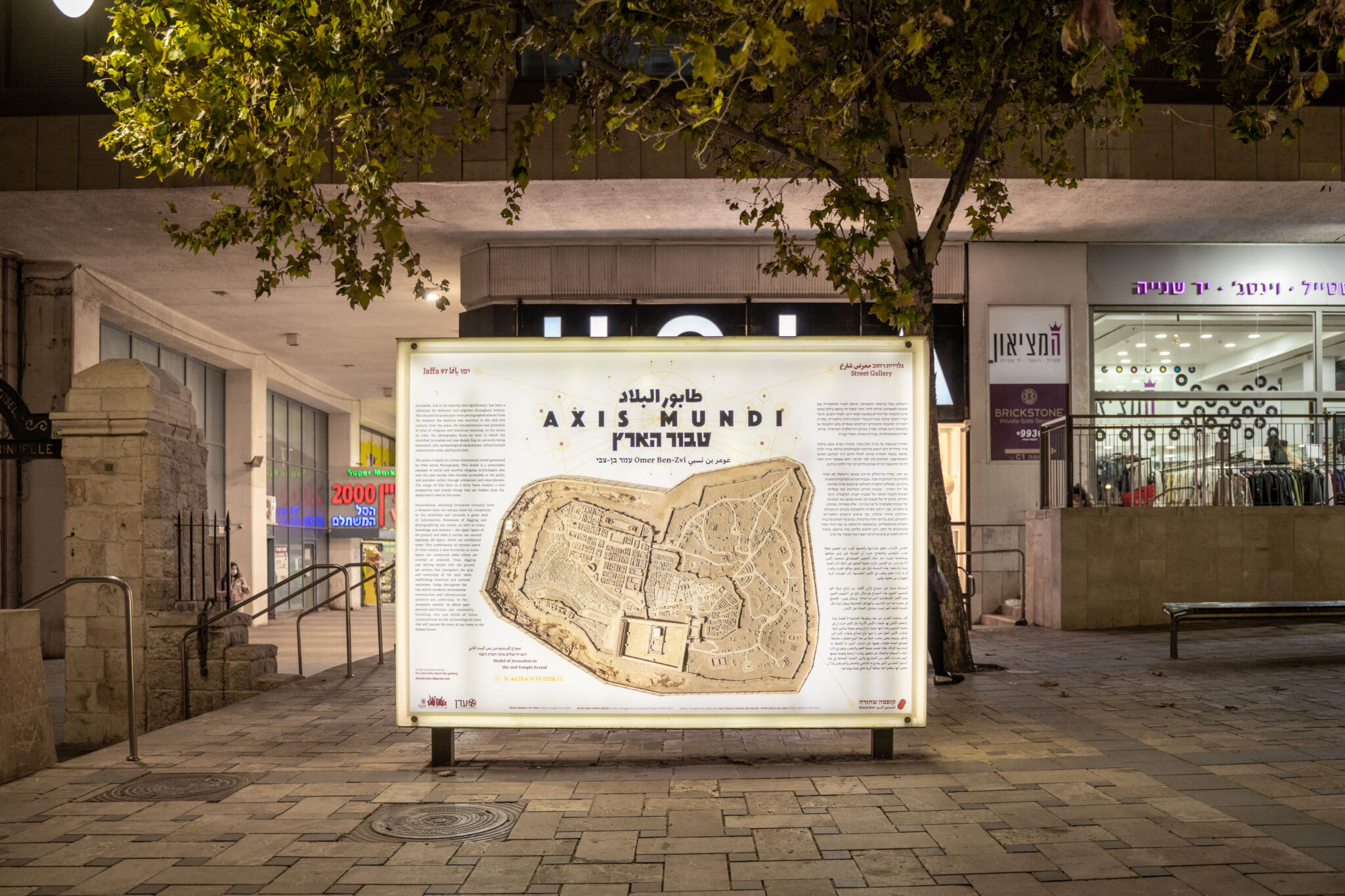


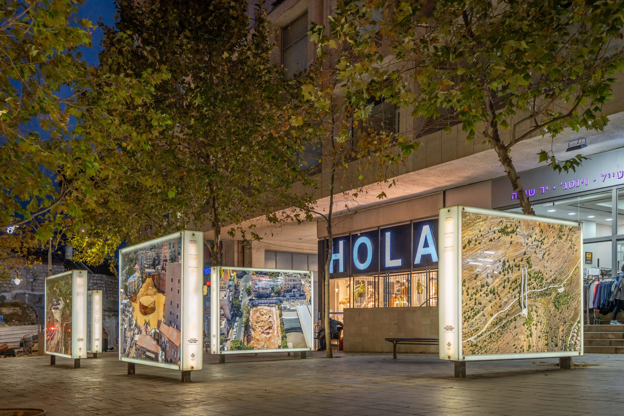

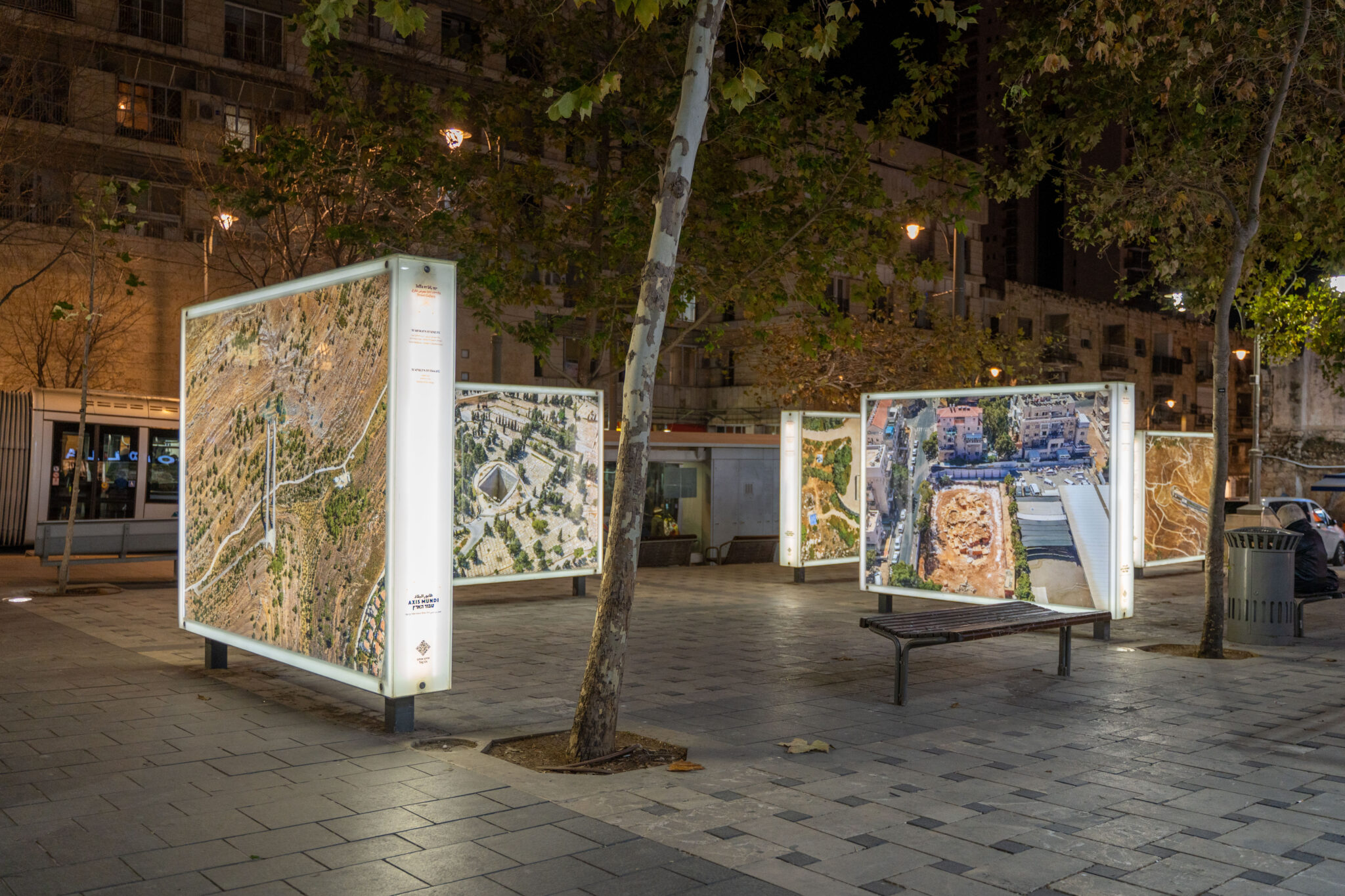


Jerusalem, due to its sanctity and significance, has been a lodestone for believers and pilgrims throughout history. The city and its landscapes were photographed almost from the moment the medium was invented in the mid-19th century. Over the years, the documentation was primarily of sites of religious and historical meaning. In the series on view, the photographs focus on sites in which the stratified Jerusalem soil was deeply dug or is currently being excavated: pits, archaeological excavations, infrastructure construction sites, and burial sites.
The series is based on a three-dimensional model generated by Ofek Aerial Photography. This model is a remarkable example of aerial and satellite imaging technologies that over the past decade have become accessible to the public and available online through computers and smartphones. The usage of this data on a daily basis enables a new perspective and reveals things that are hidden from the pedestrian view on the street.
Nevertheless, watching Jerusalem virtually from a distance does not always show its complexity as the stratified soil conceals a great deal of information. Processes of digging and photographing can create, as well as erase, knowledge and memory – the upper layers of the ground, and what it carries, are vacated, exposing old layers, which are revalidated anew. This combination of various layers of time creates a new hierarchy as some layers are conserved while others are covered or removed. Thus, digging and delving deeper into the ground are actions that strengthen the grip and ownership of the land, while reaffirming historical and national narratives. Today, throughout the city and its outskirts, monumental construction and infrastructure projects are underway. In the Jerusalem context, in which past-present-and-future are constantly blending, one can think of these constructions as the archaeological sites that will narrate the story of our times in the distant future.
ירושלים, בשל קדושתה וחשיבותה, היוותה לאורך ההיסטוריה אבן שואבת למאמינים ועולים לרגל. העיר ונופיה היו מושא צילום כמעט מרגע המצאתו של המדיום באמצע המאה ה-19. לאורך השנים, תיעוד העיר התמקד בעיקר באתרים בעלי חשיבות דתית והיסטורית. בסדרת העבודות המוצגות מתמקדים הצילומים באתרים בהם התבצעה או מתבצעת היום פעולת חפירה בקרקע הירושלמית המרובדת: בורות, חפירות ארכיאולוגיות, עבודות תשתית, ואתרי קבורה.
הסדרה מבוססת על מודל תלת-ממדי שיצרה חברת אופק צילומי אויר. מודל זה הוא דוגמא מרהיבה לטכנולוגיות צילומי אוויר ולווין שהפכו בעשור האחרון זמינות לקהל הרחב דרך המחשב האישי והסמארטפון. השימוש בהן הפך יומיומי, והוא מאפשר זווית ראיה חדשה החושפת דברים שאינם גלויים תוך כדי הליכה ברחוב.
עם זאת, צפייה בירושלים מרחוק ובאופן וירטואלי לא תמיד מלמדת על המורכבות שבה. שכבות הקרקע המרובדות טומנות מידע רב. בתהליכי החפירה והצילום יש משום יצירה ומחיקה של ידע וזיכרון – שכבות הקרקע העליונות ומה שעליהן מפונות לטובת חשיפה של שכבות ישנות, המקבלות תוקף מחודש. ערבוב זה של שכבות זמן שונות ממצב את חשיבותן של שכבות ספציפיות על פני אחרות – אלה נשמרות, מכוסות, או מוסרות. בכך, דווקא חפירה והתעמקות בקרקע הן פעולות המחזקות אחיזה ובעלות, תוך אישוש נרטיבים היסטוריים ולאומיים. כיום, ברחבי העיר ובירכתיה, נבנים פרויקטים של בניה ותשתית מונומנטליים. בקונטקסט הירושלמי, בו עבר-הווה-עתיד מתערבבים כל הזמן, ניתן לחשוב עליהם כמה שיהפכו בעתיד הרחוק לאתרים ארכיאולוגיים ויספרו את הסיפור של ימינו.
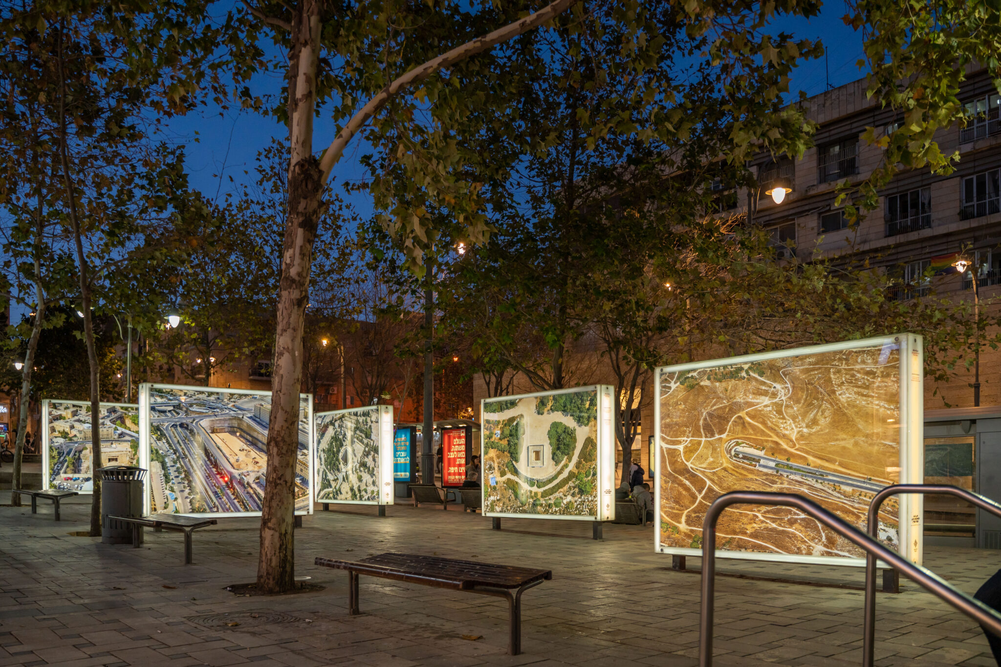
Installation shot and video: Gitai Silver