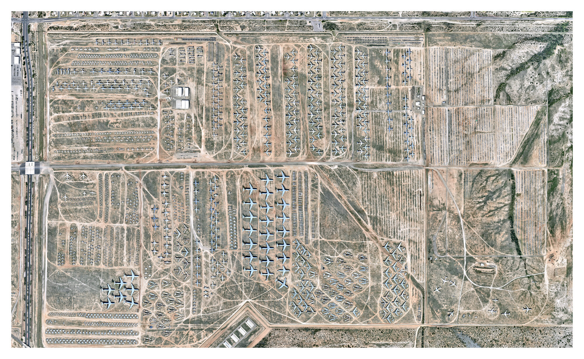

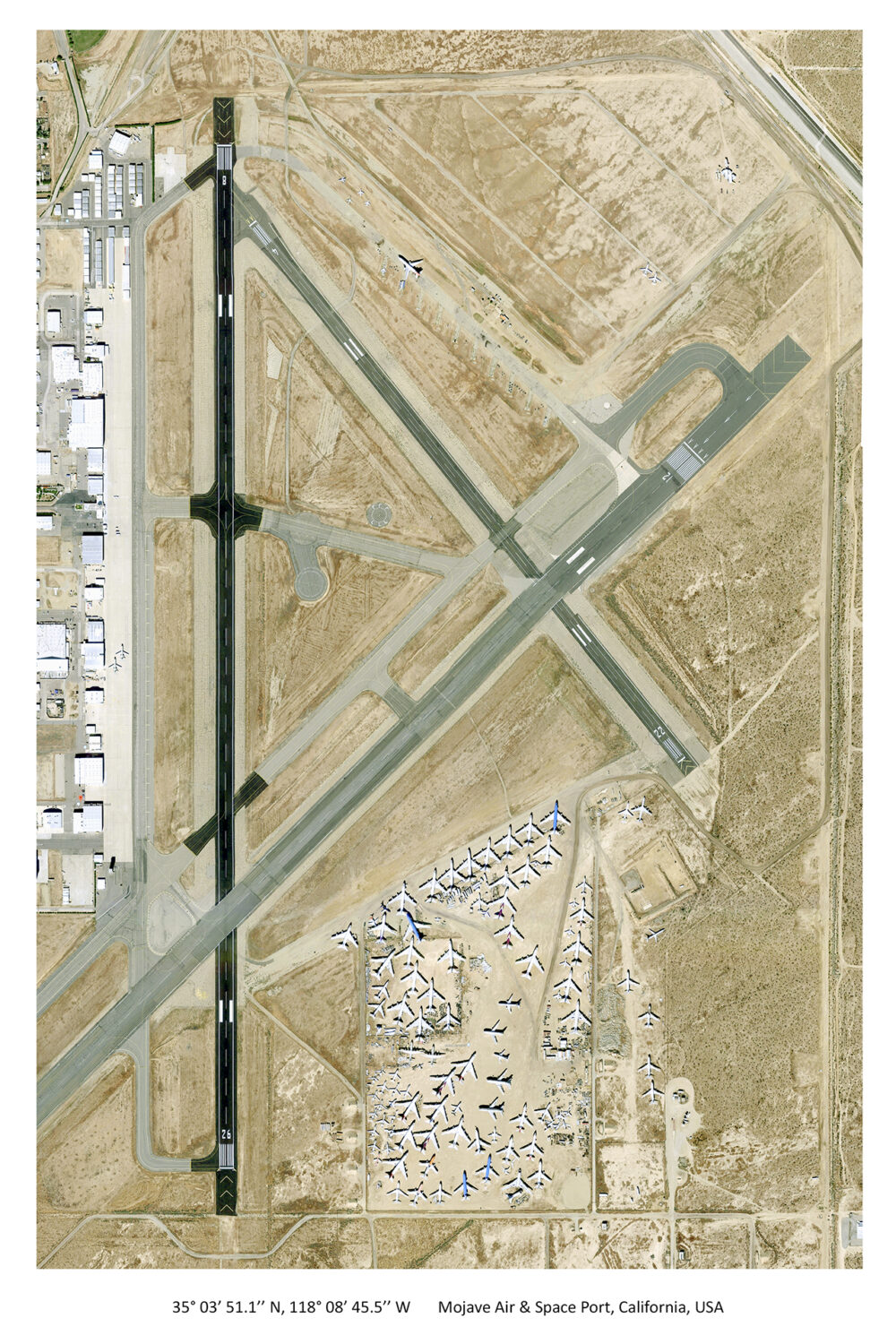

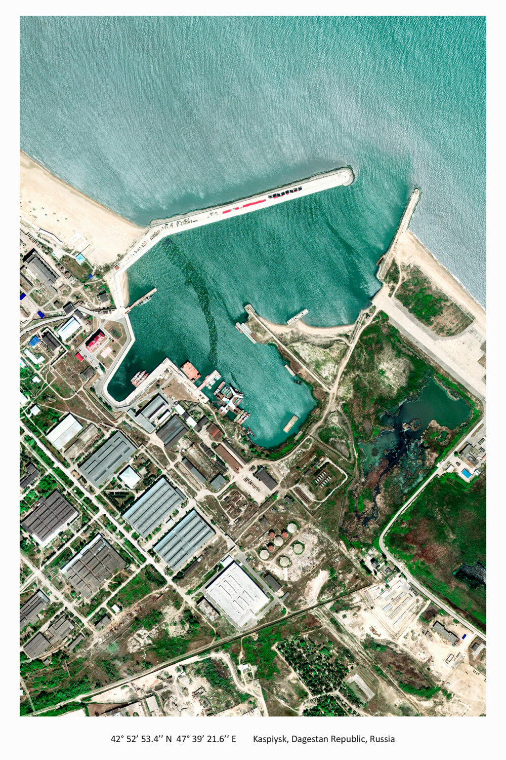

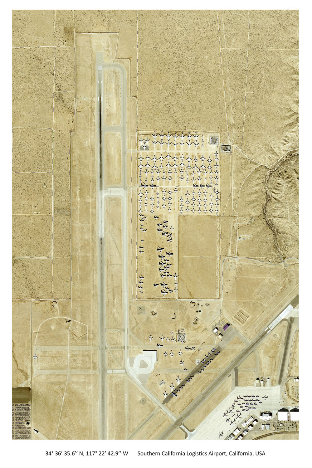

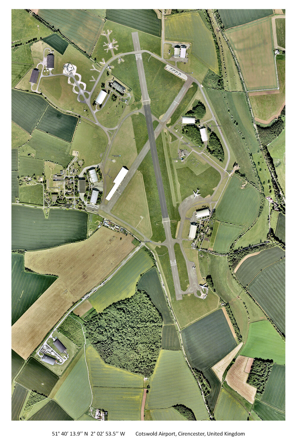

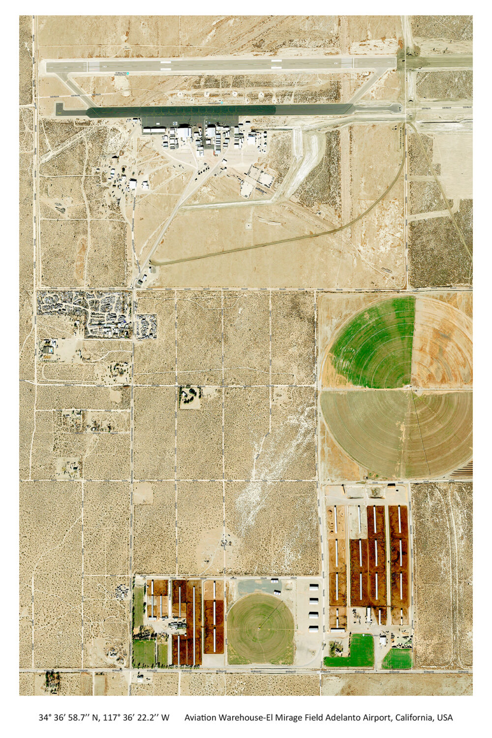

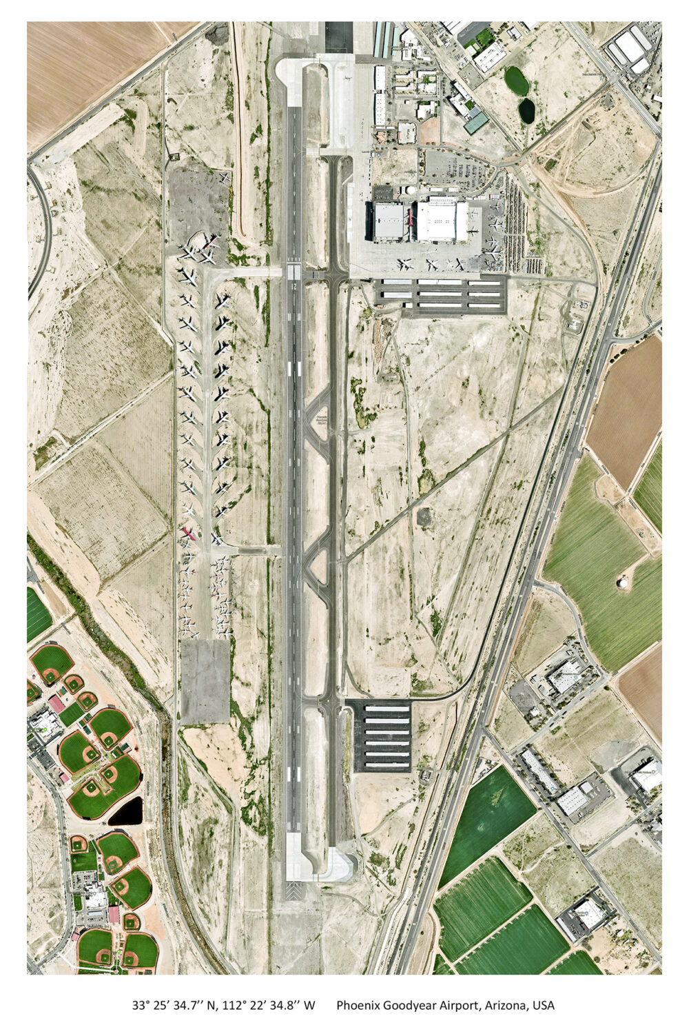

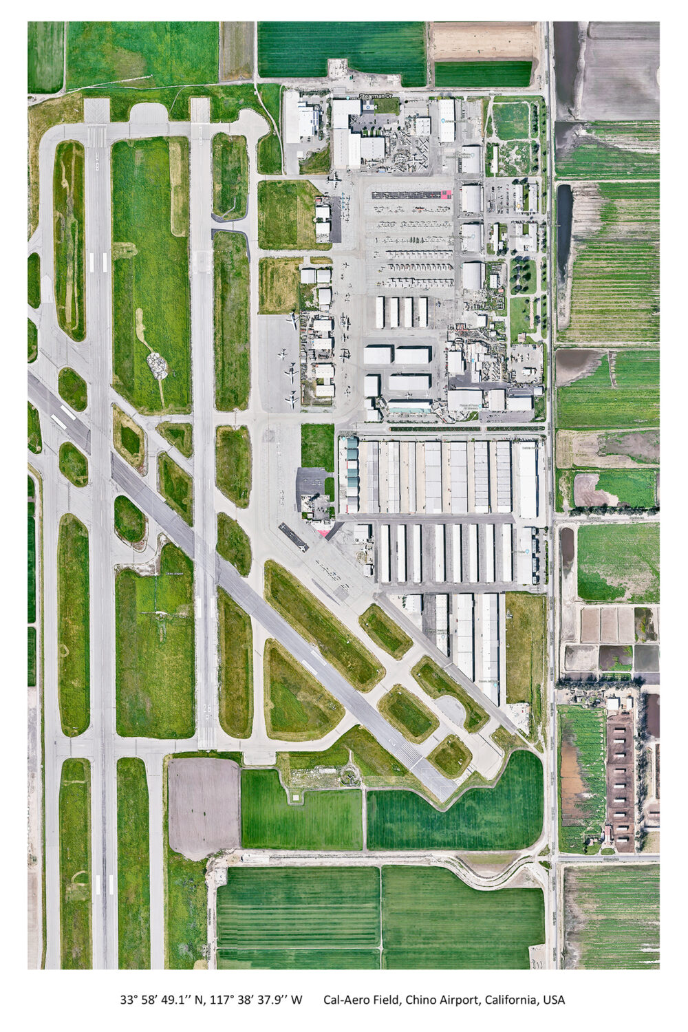

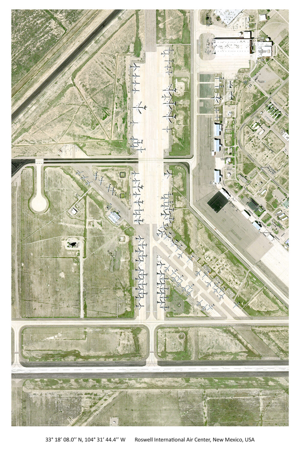

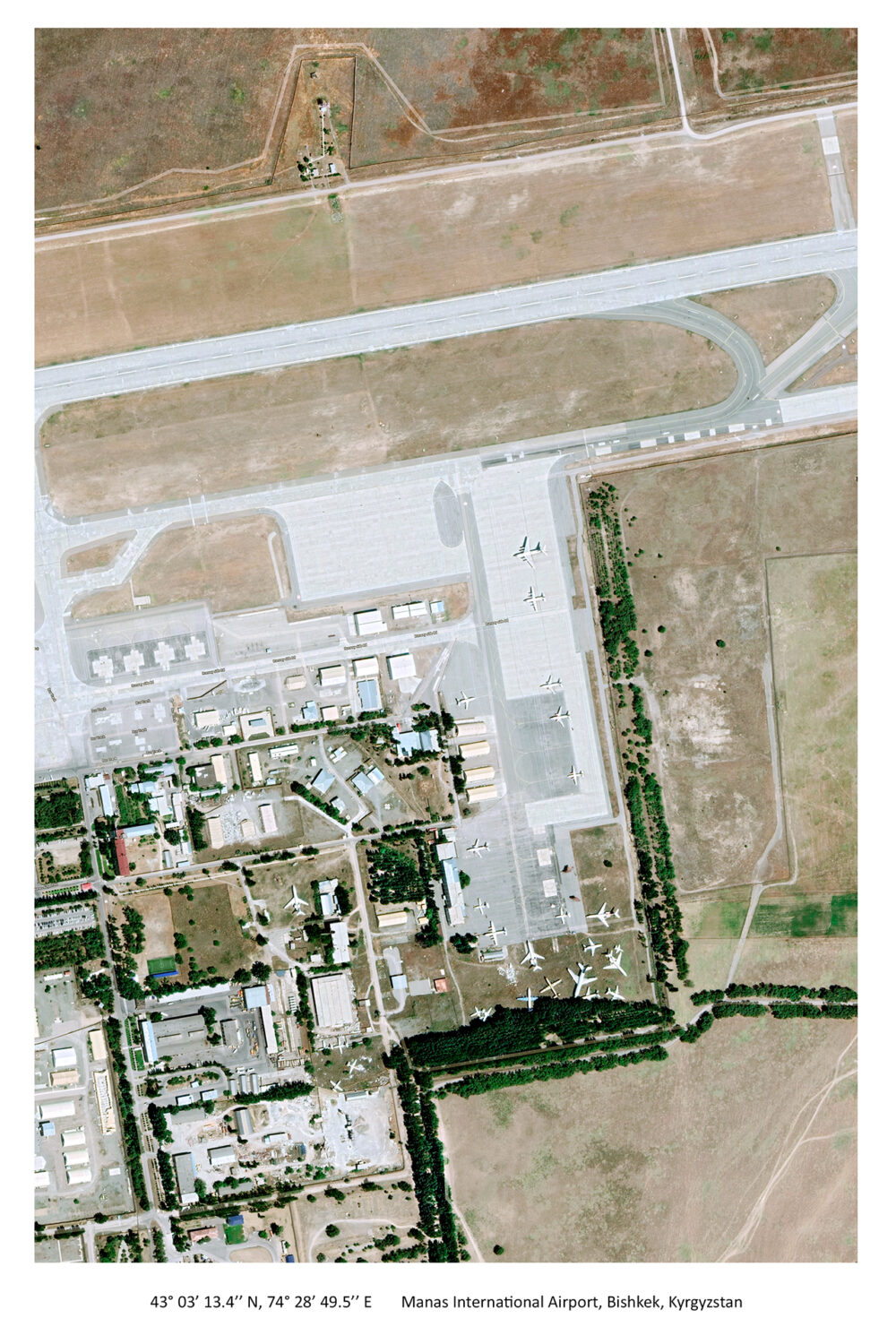

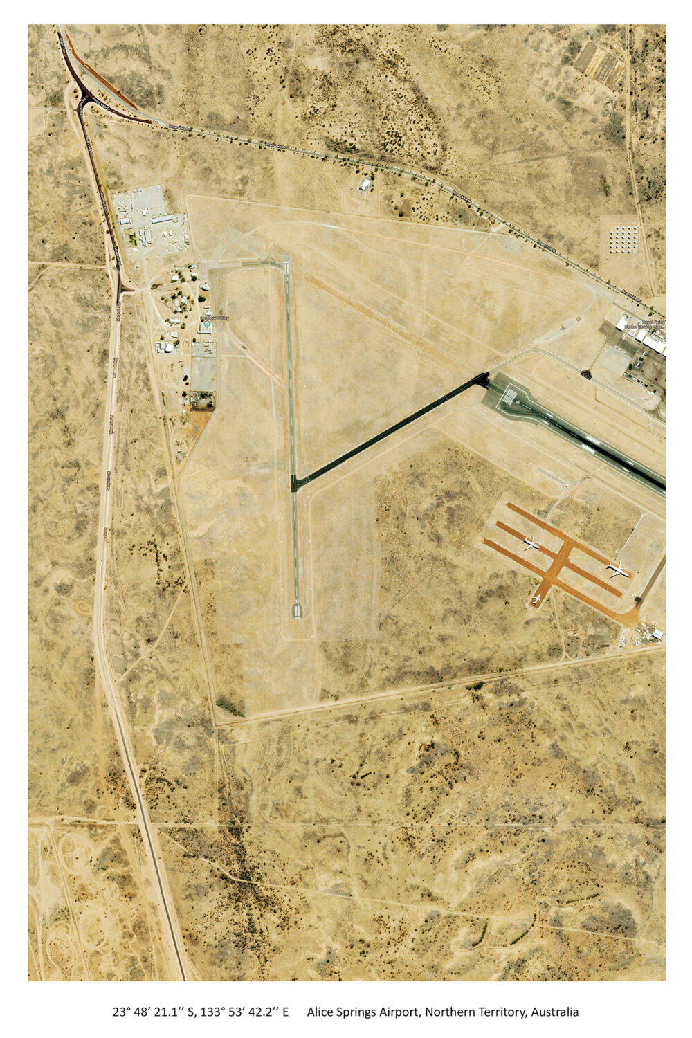

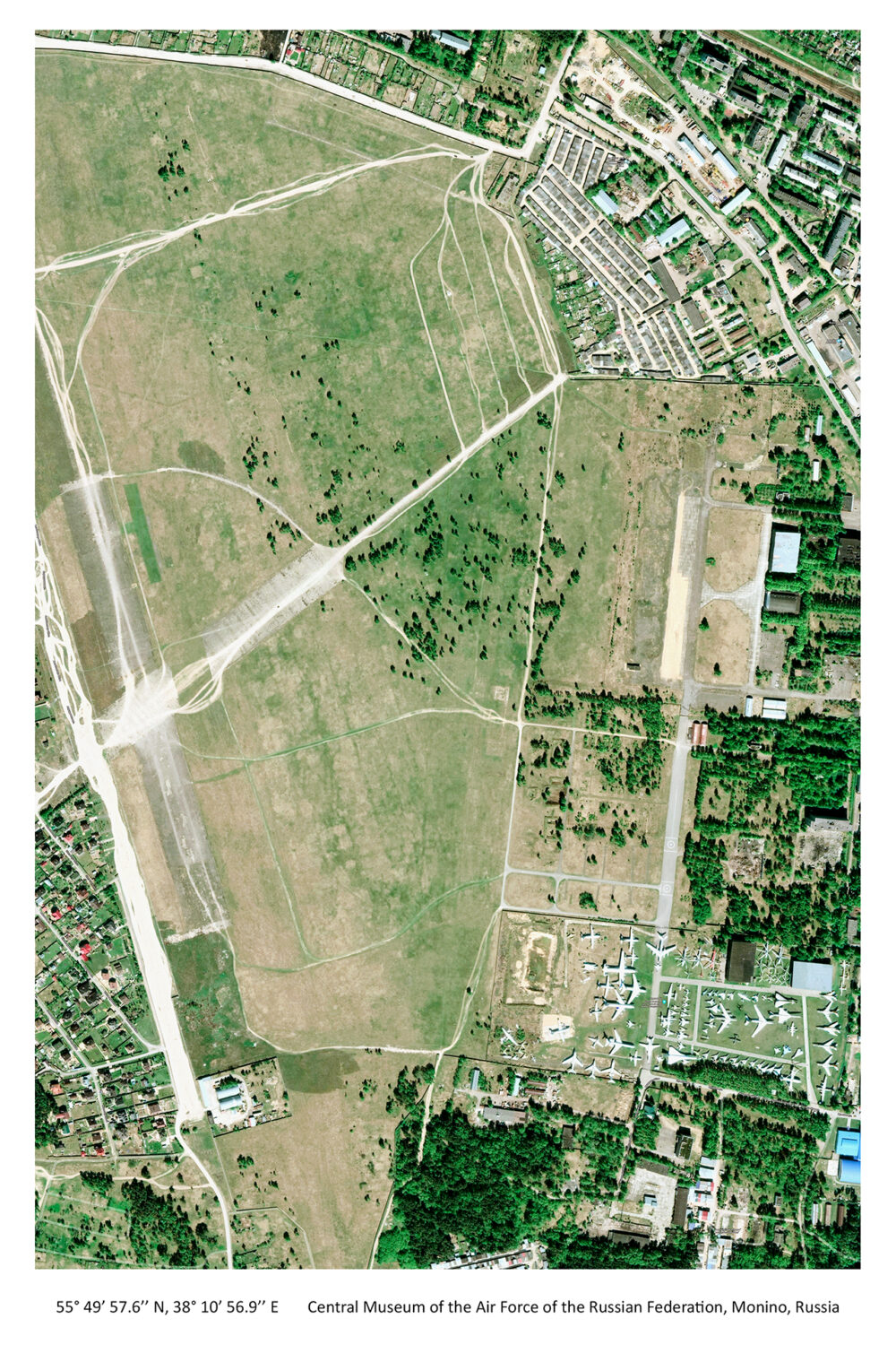

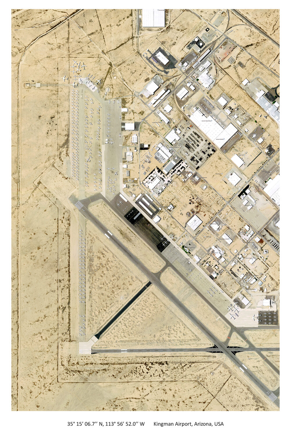


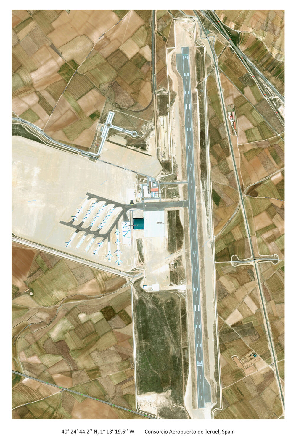

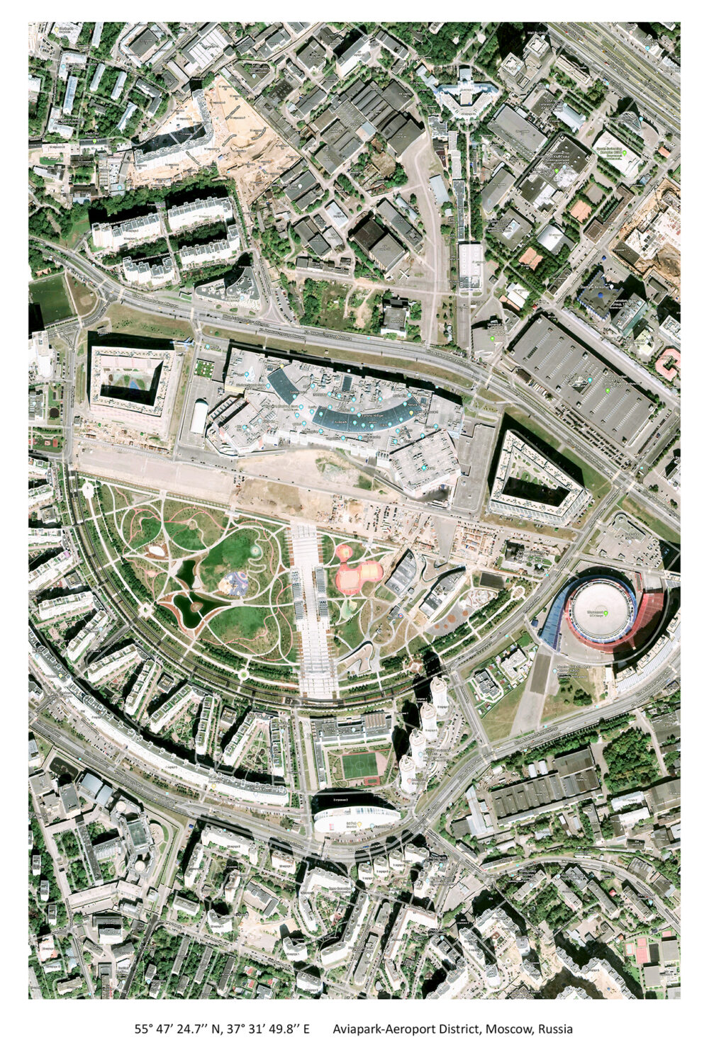


This series consists of processed satellite images depicting airplane boneyards; showing out-of-service planes designated to be recycled or to be sold for parts clustered by runways. The vertical-from-space angle flattens and abstracts the scenery, and turns the military and industrialized places to formalist compositions. Through these images, we can witness the documentation of a dying technology that was taken by the technology that replaces it.
These unmanned technologies, such as satellite and drones, bring us closer towards Posthuman-based developments where the need in a human physical presence becomes redundant. Furthermore, in order to subjectively experience a place, we are no longer required to raise our eyes off the computer or smartphone screens. Technologies that were developed for military usages, such as GPS, coordinates based navigation systems, and satellites were commodified. Thus, this new system, based on image and information, enters into the civic sphere and turns into a readable international language.
All of the information on these airplane boneyards and the satellite images were gathered through available free sources of data on the internet. That also raises questions about information’s censorship and accessibility: Can anything be hidden today? How much access to a vertical point of view from space will affect us and in what ways? And, will we reach a point when we could all be replaced by a machine?