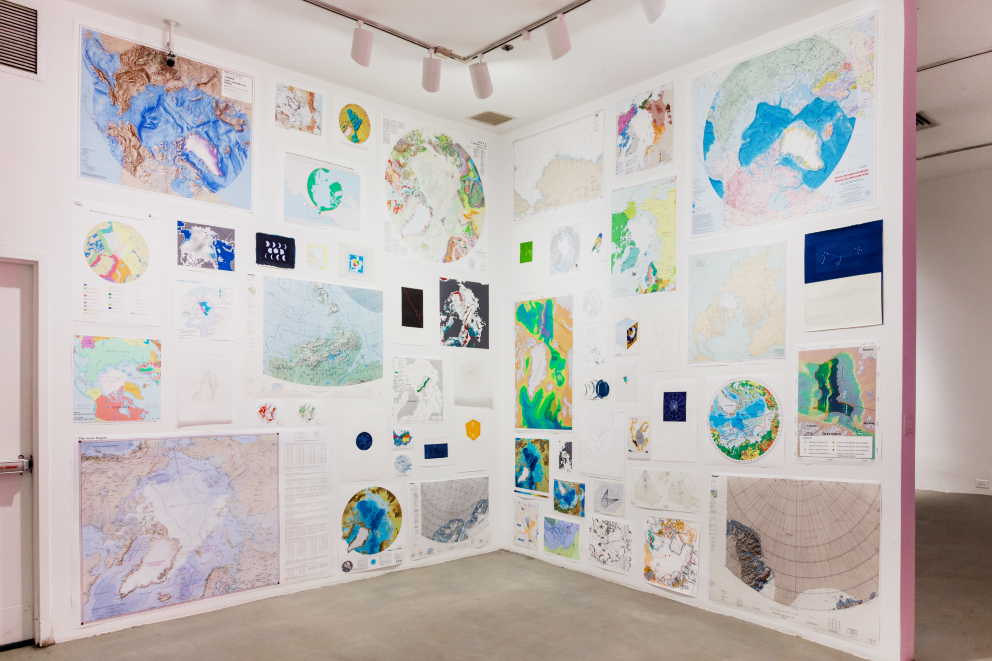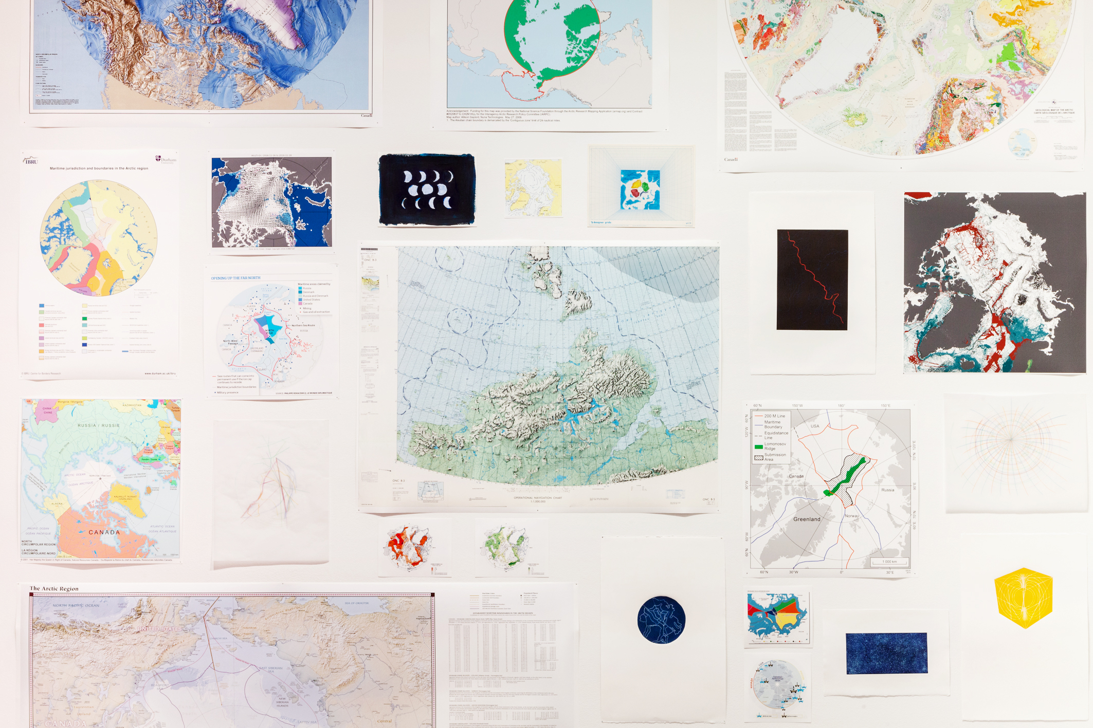


The installation composed of digital prints of maps, depicting the North Pole and the Arctic Circle. The original maps were received from different official mapping agencies from the five countries claiming parts of the Arctic Circle: USA, Canada, Russia, Norway, and Denmark. Also, the installation consisted of various intaglio prints as well as pencils and watercolor drawings, showing abstractions and interpretations of those maps.
A comprehensive look at the maps provides a variety of perspectives. However, the display of all of the maps as one installation disrupt their utilitarian purpose and allows to admire them as visually appealing objects. Thus, the map that was constructed by a specific agenda and point of view turns, in a more obvious way, to a subjective expression.